Sentiero del Rispen
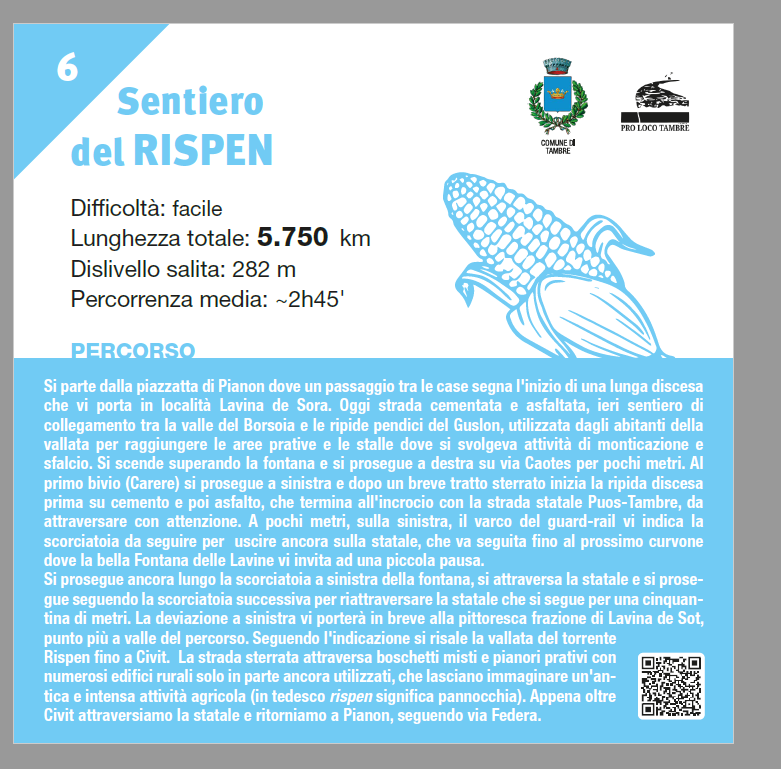
Starting from the small square of Pianon, a passage between the houses marks the beginning of a long descent that leads you to the Lavina de Sora area. Today it
Starting from the small square of Pianon, a passage between the houses marks the beginning of a long descent that leads you to the Lavina de Sora area. Today it
You depart from the small square of Pianon where a passage between the houses marks the beginning of a long descent that takes you to Lavina de Sora. Today it’s
Info: Phone: 0437 49422. Services: water, drainage, no electricity, power, free parking.
Info: Marked with a sign, behind the little church of the village of Mont. Services: rest area with only waste disposal, drinking water fountain 50 meters away.
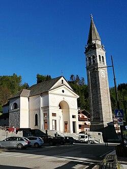
Originally, the chapel of Tambre depended on the parish of Santa Maria del Rosario; it became independent on July 24, 1730, being established as an autonomous parish. The new church
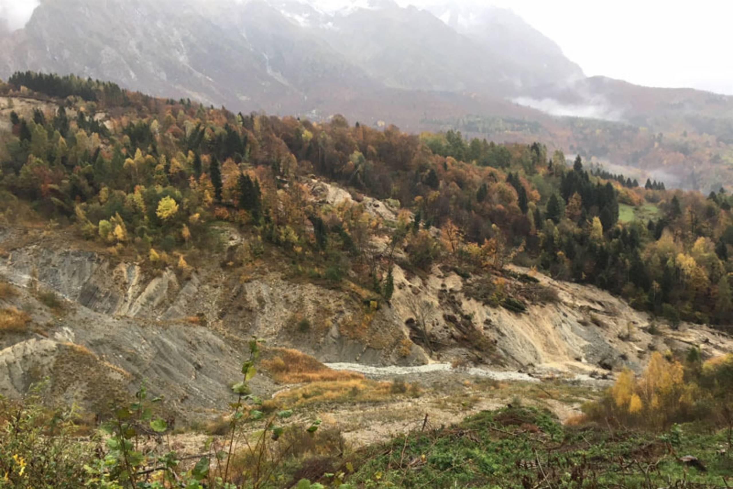
Itinerary to discover the Tessina landslide, which originated in October 1960. Travel Time: 4 h;Elevation Gain: 340 meters. For this itinerary, we recommend starting from the stone village of Funes, now
Scenic route down Alpago. Length: approximately 8 km Travel Time: 4 h Elevation Gain: 350 meters On this itinerary, we recommend starting from the Col Indes parking area. From this point,
Recommended route to be taken by bicycle. A route that embraces the entire perimeter of Cansiglio along beautiful forest paths. Length: 40 km Elevation gain: 400 meters The route can start
Archaeological sites at an altitude of 900 meters in the area of Staol di Curago and Pian de la Gnela, along the slopes of Mount Dolada. The finds of great relevance
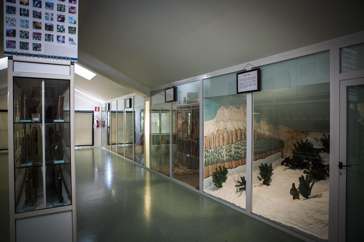
The museum set up in the former elementary school of Chies d’Alpago is owned by the Unione Montana Alpago and is opened thanks to the collaboration of the Associazione Alpago