The “ring” itinerary crosses the Belluno’s flank of the Visentin Group, between Passo San Boldo and the Nevegàl area, and consists almost entirely of mountain dirt roads, except for a few short paved roads.
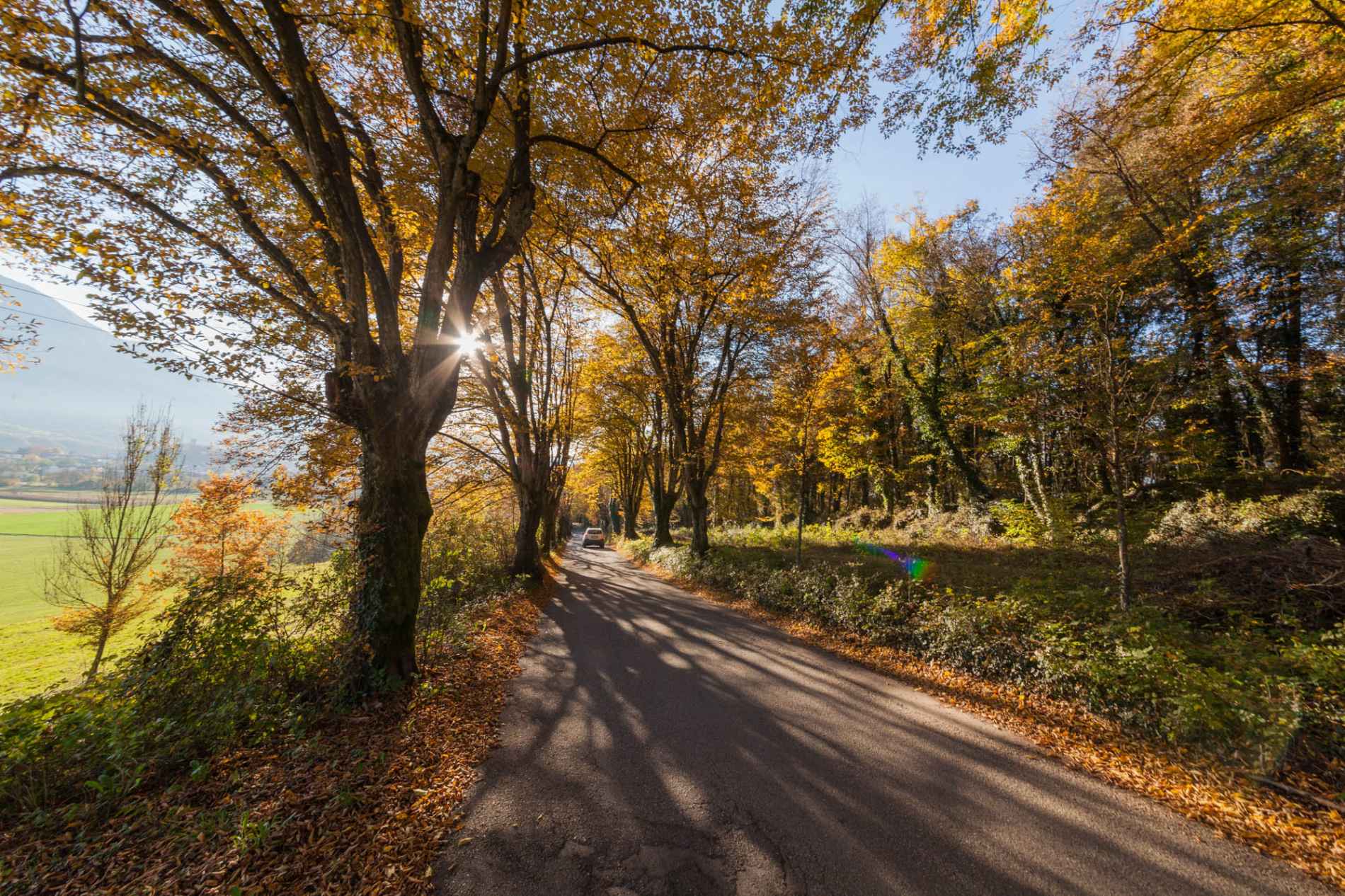
The “ring” itinerary crosses the Belluno’s flank of the Visentin Group, between Passo San Boldo and the Nevegàl area, and consists almost entirely of mountain dirt roads, except for a few short paved roads. The height difference is of about 400 m, it is of medium difficulty and safe. Starting from the locality of Melere or Pranolz (municipality of Trichiana) and crossing unspoiled fields and woods, you will reach the summit of the mountans, where you can admire a stunning view over the plains of Treviso and the Adriatic sea. (60% dirt road, 40% asphalt).
Download route- Difficulty Medio
- Approximate duration 2h 05m
- Seasonal nature Estivo
- Walkability in bici