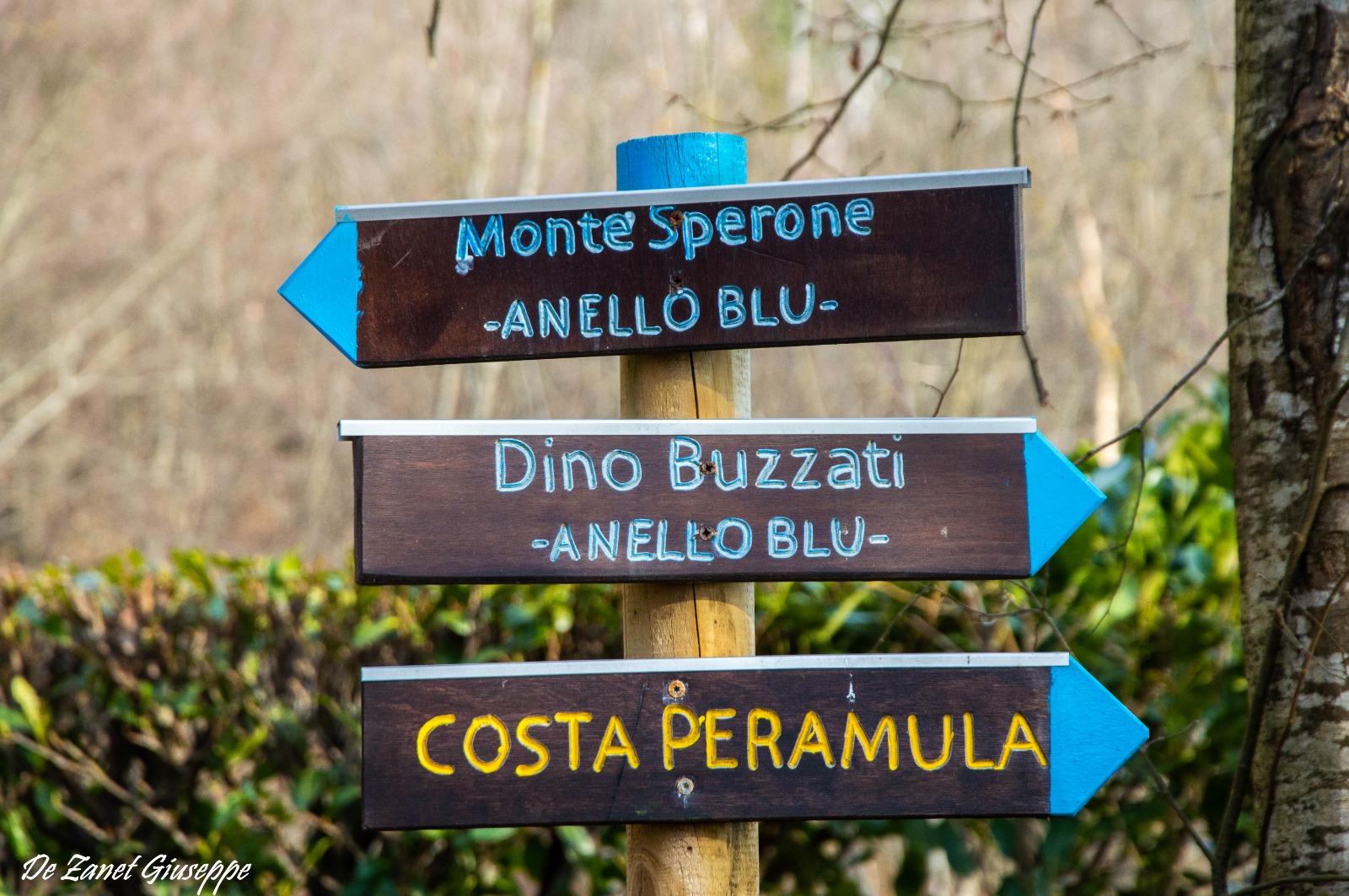
Two proposals to get to know the Sperone: a loop, through woods, villages, huts, and the ascent to the summit, which is physically more demanding.
It starts from Susin, crossing the Lovatei, the Tagliafuoco, the Selle, the Municipal Park, the center of Sospirolo, and the little church of San Lorenzo. Parking is available in Susin near the former hotel Alpino Doglioni (480 m), from where Dino Buzzati set out for the ascent to Monte Sperone on July 23, 1920 (for more ample parking, we recommend the square in Sospirolo).
We climb alongside the Bar di Susin, and shortly after we reach the old washing place of the district, then we ascend to the right via the old and steep municipal road in the woods and shortly reach the first house of the “Lovatei” with a fountain, where a stretch of uphill asphalt begins. After about 100 meters at the fork, we continue to the right, and after passing a house, we find a fountain on the left from where you can admire the beautiful panorama of the Cordevole valley, the mountains of Alpago, and the Sinistra Piave with Col Visentin prominently visible.
Shortly beyond, we arrive at a fork; we take the left again, always slightly uphill, until we reach a clearing (with a table and bench) where the asphalt ends and a flat dirt stretch begins, alternated with concrete in the steeper parts. After about 200 meters, there is a rustic wooden fountain, while the road continues uphill. After 40 minutes of walking, just before reaching a rustic (695 m), we turn right onto the dirt road called “Tagliafuoco,” which continues with continuous ups and downs towards the northeast. Those who wish to shorten the route can descend via the steep path (road da musse) that starts 300 meters after the beginning of the “Tagliafuoco,” intercepting the road leading to the artificial tunnel of Pezzericola, then descending to the “Gnas” houses (just before on the left, a beautiful specimen of hornbeam), then to the Cava and to the churchyard of Sospirolo, which can be reached in about 20 minutes.
Following the high road, we reach the fork with a votive cross (670 m, about 1 hour from departure) that leads to descend towards the Osa and Selle houses. If we are not in a hurry, we can continue to the end of the “Tagliafuoco,” gaining an unusual view of Monte Sperone and ascending beyond the ridge to “Cogol de Peramula” (725 m), once used by woodcutters and charcoal burners, near which one enjoys the panorama of the lake, the Canal del Mis, Gena, and the Monti del Sole. Returning back and descending towards the Osa and Selle houses, we encounter beautiful dry stone walls; here, in some stretches, care must be taken with the brambles. We arrive at casera Osa (600 m) and shortly afterwards at the dilapidated settlement of Selle, which we circle around the front facade, and then we descend along a beautiful mule path. Shortly after, we find a concrete fountain from 1924 and shortly after the left fork for the locality “I Tonet.” We continue straight, reaching the first Selle houses (535 m), preceded by a large clearing with a hut, where the asphalt road begins.
After about 1 hour and 30 minutes from departure, we intersect the trail of the Park “of the foothill churches” (495 m), but we continue straight. We first reach the locality La Cava, and then the square of the church of Sospirolo. We continue left towards the cemetery, then descend into the woods beside the parking lot until a fork, where we turn decisively to the right. After crossing a stream, we find a panel with the map of the Municipal Park and a bench; the road climbs and we reach the first houses of Sospirolo with a playground for children. We skirt piazza Lexy and cross the provincial road until a small park with a fountain in front of the Municipality of Sospirolo; we ascend and take a left under the little church of San Rocco, continuing then in a gentle slope until the little church of San Lorenzo with a splendid view of the Piana di Gron and the Belluno valley.
Here, the asphalt road ends and the meadow begins. After about 150 meters, we turn right uphill, skirting the fence of a villa, we crest reaching the provincial road where we turn left towards Susin and in a few steps we reach the beautiful little square of the village, marked by a charming fountain and the little church of San Martino. Nearby, in a rural house with “piol” (porch with balcony), there is a fresco depicting the Saint. Our excursion ends after about 2 hours and 30 minutes from departure.
THE ASCENT TO MONTE SPERONE
Leaving the “Tagliafuoco” on the right, we continue until a clearing at the end of the asphalt road (813 m) where parking is available, near a hut called “Staol dei Dori.” We skirt the hut and after about 40 minutes reach a clearing; we continue right on flat ground, shortly after we cut through a landslide, then we intersect a path from “musse” (sledges). We turn left uphill for a stretch that is a bit exposed and offers a beautiful view of the Belluno valley.
After about 1 hour we arrive at a saddle near Col del Dof (1154 m), where we overlook the Valle del Mis. We then arrive at the grassy slopes of Pradel. From here, we can see the houses below above the Mis dam and in summer the lush blooming (buttercups, gentians, irises). In the final stretch that leads to the summit, the path runs along the slender ridge that separates the two steep sides of the mountain. Although there are no particular difficulties, this section is very exposed, requires attention, and is recommended for experienced hikers only. The summit of Sperone (1262 m, 1 hour and 30’ from departure) offers a spectacular panorama of the Belluno valley and the surrounding mountains. The return path is along the same way of ascent, to the parking area, in about 1 hour. The route is marked with the classic white and red coloring.
AddressMail: proloco@sospirolo.net
Website: http://www.sospirolo.net