A journey to discover “Land Art”
A circular route starting from Puos d’Alpago, now part of the unified municipality called Alpago.
It is a route with a total distance of about 43 km and a positive elevation gain of 1200 meters, mostly on paved roads with a few dirt sections, but it is still of medium difficulty. The use of muscular MTB, gravel, and of course e-bikes is allowed.
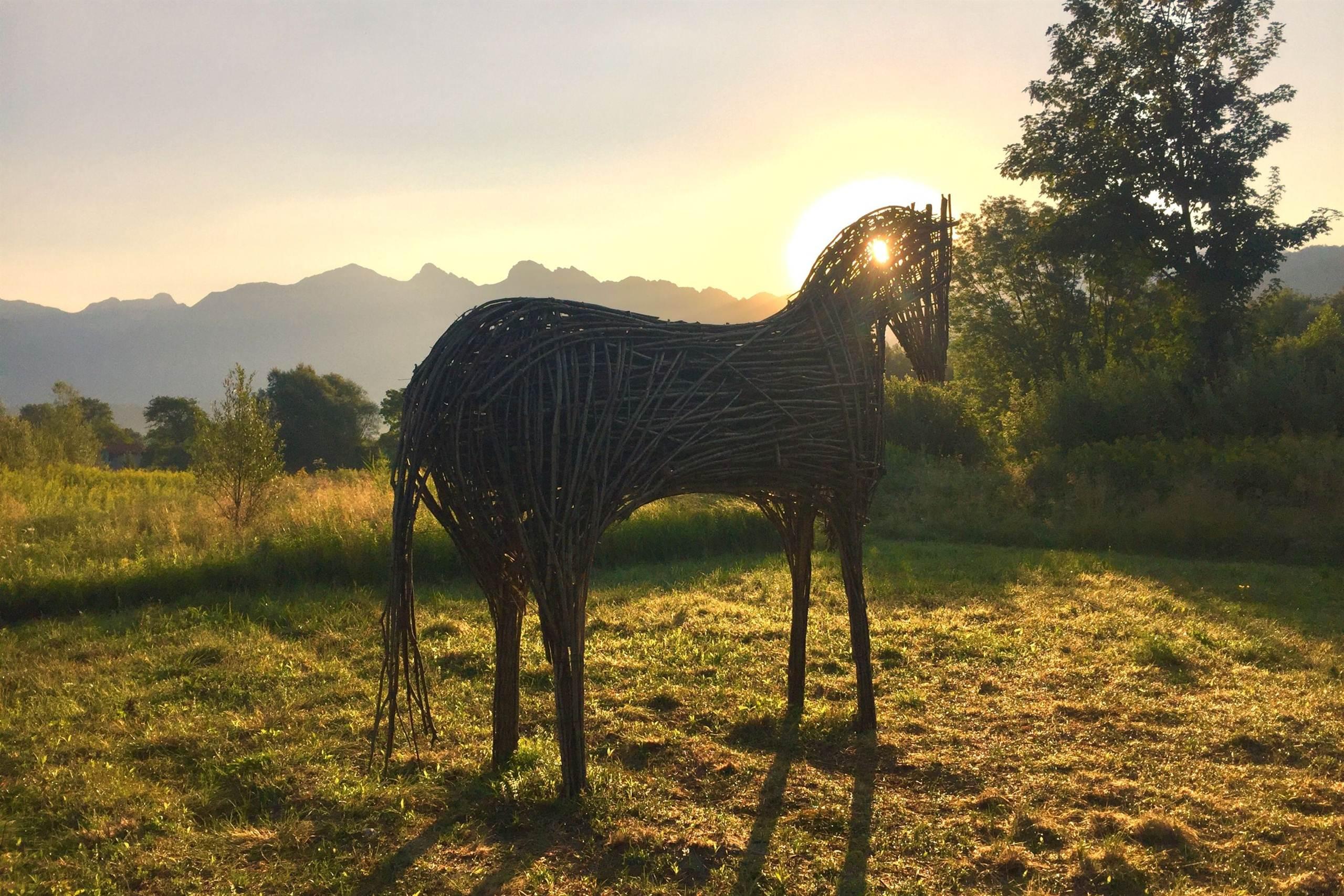
You will travel part of the cycling path along Lake Santa Croce with views of the “Land Art” compositions, following the Cellina canal up to Villa Cesa. Here the plain ends, and the ascent toward Rifugio Carota begins at about 1000 meters above sea level.
Then, you continue to Rifugio Dolada at just under 1500 meters above sea level, where we still need to cover about 5.5 km to reach the starting point for adrenaline-filled activities such as hang gliding or paragliding. From here, you can return by following “The Path of Sensitivity,” which connects Rifugio Carota with the locality of San Martino.
You then head back through Lamosano and Cornei to the starting point.
USEFUL INFORMATION
Parking: Rugby Field of Alpago
Length of the route: 43 km
Elevation gain: 1,200 m
Duration: full day
Difficulty: difficult
You are in a natural environment that demands respect:
- Prohibition of flower picking
- Prohibition of swimming
- No loud noises
- Prohibition of lighting fires
- Do not leave waste around, but dispose of it in designated areas (including cigarette butts, tissues, masks, and wet waste)
- Minors must be accompanied
- Dogs must be kept on a leash and their waste collected
- Do not leave the path
- Do not disturb local wildlife
It is advisable to check the ARPAV website for any disturbances before starting the route.
AddressMail: iatalpago@gmail.com
Website: https://www.alpagocansiglio.eu/